Log in
All resources
Create a design
633 Free Artworks of General Maps
bibliothèque nationale de france
maps in the library of congress
civitates orbis terrarvm
orientalist painting
le sénégal. la france dans l'afrique occidentale (1889)
picturesque journey to the two americas, asia and africa
museum of the americas
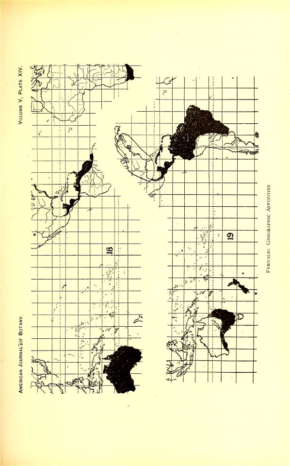
botany
period
botanique
bibliothèque nationale de france
mapa general de españa (1802)
maps of the american civil war
edward s. hall
robert cordier (engraver)
1789 maps of france
robert cordier (engraver)
1789 maps of france
historical collections of the state of new jersey (1852)
1852 maps of the united states
cryptobranchus alleganiensis
brehms tierleben
maps in the rijksmuseum amsterdam
published by frans buffa & zonen
dutch 17th-century prints in the rijksmuseum amsterdam
maps by daniel stoopendaal
1794 maps of the holy roman empire
english-language maps of europe
portrait paintings of arthur wellesley, 1st duke of wellington
domenico pellegrini
prints in the royal collection of the united kingdom
thomas vivares
historie van indien
de bry family
cartography
maps
18th-century portrait paintings in the national maritime museum, london
john francis rigaud
mapa general de españa (1802)
cartouches by tomas lópez
gouvernement général de picardie qui comprend la généralité d'amiens divisée en ses huit elections. avec l'artois, et les frontières des pays-bas. dressé sur les mémoires les plus nouveaux - par le... - btv1b59717521
bibliothèque nationale de france
gouvernement général de picardie qui comprend la généralité d'amiens divisée en ses huit elections. avec l'artois, et les frontières des pays-bas. dressé sur les mémoires les plus nouveaux - par le... - btv1b59717521
bibliothèque nationale de france
illustrations from ''księga chwały piechoty''
józef piłsudski in 1920
gouvernement général de picardie qui comprend la généralité d'amiens divisée en ses huit elections. avec l'artois, et les frontières des pays-bas. dressé sur les mémoires les plus nouveaux - par le... - btv1b59717521
bibliothèque nationale de france
gouvernement général de picardie qui comprend la généralité d'amiens divisée en ses huit elections. avec l'artois, et les frontières des pays-bas. dressé sur les mémoires les plus nouveaux - par le... - btv1b59717521
bibliothèque nationale de france
bibliothèque nationale de france
cartouches by sanson family
maps in the library of congress
civitates orbis terrarvm
atlas of the great elector
archipelagus orientalis
maps in the library of congress
1779 maps of new york (state)
maps in the library of congress
1777 maps of north america
a & c black general atlas of the world
19th-century celestial maps
1821 maps of the united states
maps by john cary
picturesque journey to the two americas, asia and africa
lima in the 1840s
maps by bernard ratzer
maps by thomas kitchin
maps in the library of congress
civitates orbis terrarvm
maps in the library of congress
civitates orbis terrarvm
maps in the library of congress
civitates orbis terrarvm
maps by bernard ratzer
maps by thomas kitchin
mappe-monde geo-hydrographique (sanson and jaillot, 1674)
bibliothèque nationale de france
old maps of saint-louis (senegal)
orientalist painting
le sénégal. la france dans l'afrique occidentale (1889)
orientalist painting
orientalist painting
old maps of dakar
maps by willem and johannes blaeu
1780s maps of the balkans
africa in the 18th century
1794 maps of africa
africa in the 18th century
1794 maps of africa
bibliothèque nationale de france
cartouches by tomas lópez
maps from gallica
guides joanne
cartography
maps
cartography
maps
botany
maps
botany
maps
maps by pieter mortier
maps from gallica
maps of the arctic by gerardus mercator
maps by hendrik hondius the younger
maps in the library of congress
civitates orbis terrarvm
botany
maps
botany
maps
botany
maps
lithographs in the british museum
aimable pélissier
degas (crater)
impressionism
mappe-monde geo-hydrographique (sanson and jaillot, 1674)
bibliothèque nationale de france
cartography
maps
everett d. graff collection of western americana
anson jones
everett d. graff collection of western americana
anson jones
nypl general research division
voyage en perse
semeuse stamps on covers and postcards (5c)
postcards published by léon & lévy
historical collections of ohio (1891)
old maps of ohio
bibliothèque nationale de france
cartouches by tomas lópez
maps in the library of congress
civitates orbis terrarvm
maps in the library of congress
new york illustrated news
paintings by nicolaas pieneman in the rijksmuseum amsterdam
jan jacob rochussen
an account of the campaign in the west indies, in the year 1794 under the command of their excellencies lieutenant general sir charles grey, k.b., and vice admiral sir john jervis, k.b.
18th-century maps of martinique
prints by abraham allard in the rijksmuseum amsterdam
maps in the rijksmuseum amsterdam
sanson map of languedoc (17th century)
cartouches by sanson family
venezuela, cum parte australi novae andalusiae - btv1b53196851w
17th-century maps of venezuela
maps in the library of congress
civitates orbis terrarvm
carl gustaf emil mannerheim in unidentified year
romanticism,symbolism,romantic nationalism
historical collections of ohio (1891)
1805 in ohio
picturesque journey to the two americas, asia and africa
lima in the 1840s
botany
maps
19th-century portrait paintings in the museo naval, madrid
ignacio maria de álava y sáenz de navarrete
plans et dessins des travaux de restauration des cathédrales, xixe siècle - archives nationales
media contributed by the archives nationales (france)/13
1760s maps of the americas
1760 maps
le sénégal. la france dans l'afrique occidentale (1889)
orientalist painting
le sénégal. la france dans l'afrique occidentale (1889)
orientalist painting
mappe-monde geo-hydrographique (sanson and jaillot, 1674)
louis cordier
le sénégal. la france dans l'afrique occidentale (1889)
orientalist painting
peninsula campaign
julius bien
mappe-monde geo-hydrographique (sanson and jaillot, 1674)
louis cordier
le sénégal. la france dans l'afrique occidentale (1889)
orientalist painting
william i of the netherlands (joseph paelinck - rijksmuseum amsterdam)
1819 portrait paintings of men
picturesque journey to the two americas, asia and africa
1842 in bolivia
voyage pittoresque en asie et en afrique
1839 maps of africa
picturesque journey to the two americas, asia and africa
1842 in bolivia
picturesque journey to the two americas, asia and africa
potosí
prints by gillis van scheyndel in the rijksmuseum amsterdam
etchings in the rijksmuseum amsterdam
picturesque journey to the two americas, asia and africa
1842 in bolivia
bibliothèque nationale de france
ambroise tardieu
bibliothèque nationale de france
guillaume sanson
venezuela cum parte australi novae andalusiae - (willem janszoon blaeu et joan blaeu) - btv1b8596474b
17th-century maps of venezuela
1806 maps of the united states
maps by john cary
maps in the library of congress
civitates orbis terrarvm
maps in the library of congress
civitates orbis terrarvm
maps in the library of congress
civitates orbis terrarvm
maps in the library of congress
civitates orbis terrarvm
maps in the library of congress
civitates orbis terrarvm
301 - 400 of 633
Next page
/ 7


!["Descriptio Vorticis Noruegiae et Bodniae eorumq[ue] mirab…](https://cdn.creazilla.com/illustrations/5593800/descriptio-vorticis-noruegiae-et-bodniae-eorumq-ue-mirab-illustration-sm.jpeg)


![Carta Plana desde Cartag[e]na á Constantinopla con los der…](https://cdn.creazilla.com/illustrations/5593681/carta-plana-desde-cartag-e-na-a-constantinopla-con-los-der-illustration-sm.jpeg)


![[Scene of the late naval fight and the environs of Fortress Monroe, and Norfolk and Suffolk, now threatened by General Burnside]., 22 March 1862](https://cdn.creazilla.com/illustrations/10000678599/scene-of-the-late-naval-fight-and-the-environs-of-fortress-monroe-and-norfolk-and-suffolk-now-threatened-by-general-burnside-22-march-1862-sm.webp)


![Venezuela cum parte Australia Novae Andalusiae / [Willem Janszoon Blaeu et Joan Blaeu], Joan Blaeu, between 1638 and 1640](https://cdn.creazilla.com/illustrations/10000255596/venezuela-cum-parte-australia-novae-andalusiae-willem-janszoon-blaeu-et-joan-blaeu-joan-blaeu-between-1638-and-1640-sm.webp)


